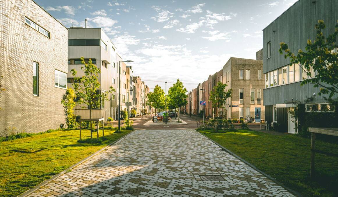
What does an accessible city look like?

This is branded content.
Accessibility should be a priority for all cities, especially when one in six Australians have a disability, invisible or otherwise.
There are many decisions that go into creating an accessible city, as well as purpose-built infrastructure and supporting services.
If you have noticed some changes around your city or want to know what the future of accessibility looks like in your own community, here is what you can expect.
Digital twin city model
Digital twin technology needs to be seen to be believed, but it is going to be an integral part of future design and city planning.
A digital twin city model is essentially a replica of a city, with the users of that program able to focus on areas that might need enhanced accessibility.
It also allows city planners to look at city models of places with leading accessible features, understand how it is done and bring those features to their own city's.
This is especially important if rural city's do not have the resources of lived experience with disability to know what their community needs, and can execute the right approach first up, rather than having to iterate down the line.
Tactile indicators
Tactile indicators have been around in some form for a very long time. These days, tactile indicators are so seamlessly integrated with our cities that you may not even notice where or what they are.
Tactile indicators are for those who are visually impaired and hearing impaired, generally speaking. Although further prompt and environmental cues can also serve people with other disabilities.
Tactical indicators include raised ground ahead of roads, stairs and other potentially dangerous environments.
Another example of tactile indicators in our cities is the pedestrian crossing buttons, which vibrate at different speeds to signify when to walk and when to wait.
Wayfinding
Whether you identify as someone with a disability or not, wayfinding is critical to everyone's life.
It allows us to move through our city with greater ease and there are so many ways that you can creatively and clearly achieve this. 3D modelling maps can make wayfinding much more contextual, especially if the provider updates these maps in real-time so that obstructions and new paths are easily visible.
A more 'back to basics' way of approaching wayfinding is to have more signage around a city, main roads identifiable at several points, and other languages utilised in signage.
A good rule of thumb would be to ask yourself 'if I did not live here, could I conceivably get where I need to go with ease?' Social stories are another way to communicate to populations with ASD about how they can get somewhere and in what manner.
Population and planning
There's been a real push towards planning city's to be more 'stacked' to accommodate population growth. While these plans are incredibly innovative, they also prioritise public transport over driving, which has some great environmental knock-on effects.
Public transport, generally speaking, are equipped to cater to all disabilities and in some cases, these interactions are key components to an individuals social participation.
If you would like to understand what your city is doing towards making a more accessible future, you can access the inclusivity plan which should be available on state websites.
~
In an ideal world, these accessible features are so ingrained in our society that they don't feel shoehorned into an environment, but rather our environments are built around them.
Next time you get around your city, see if you can spot some opportunities for greater wayfinding and access and communicate these to your local member.


